Marine_name 
Zoom Level Applied: 1~19
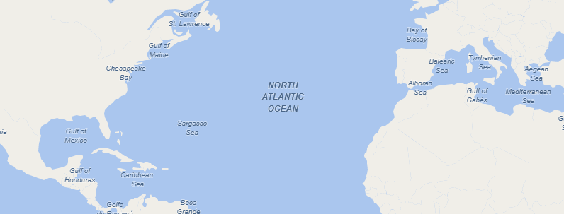
Points for labeling major marine features, such as the oceans, seas, bays, gulfs and channels.
Columns
geometry field
geometry type : point
name field
| Field | Description |
|---|---|
name |
The name (or names) used locally for the place. |
name_en |
English (if available, otherwise same as name) |
name_zh |
Chinese (if available, otherwise same as name) |
name_ar |
Arabic (if available, otherwise same as name) |
name_de |
German name name_deif available, otherwise nameor name_en. |
class
The main field used for styling the marine is class. The varying number represent different values.
| Value | Description |
|---|---|
0--'ocean' |
There are seven continents |
1--'sea' |
A sea is a large body of salt water which is surrounded by land. |
2--'bay' |
A bay is a recessed, coastal body of the water directly connects to a larger main body for water,such as Bay of plenty. |
3--'gulf' |
A gulf is a large bay that is an arm of the ocean or the sea. |
4--'channel' |
A channel consists the outline of the path of a narrow body of water. |
scalerank
The scalerank field is a number representing the size of the marine. Possible values are from 0(very large marine) to 9(very small marine).
labelrank
The labelrank field is intended to help assign different label styles based on the size.The possible values are from 0(very large marine) to 4(very small marine).
Data Download Source
| Zoom Level Applied | Possible Values | Data Download Source |
|---|---|---|
| 1 ~ 19 | class = 0, 1, 2, 3, 4 | ne_10m_geography_marine_polys (featurecla in ('ocean', 'sea', 'bay', 'gulf', 'channel')) |