Water_name 
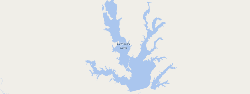
Zoom Level Applied: 10~19
The name representing the waters, just appear at higher zoom levels.Water names are filtered and simplied acoording to osm_area. When you zoom in, more water names should show up.
Columns
geometry field
geometry type : point
name field
| Field | Description |
|---|---|
name |
The name (or names) used locally for the place. |
name_en |
English (if available, otherwise same as name) |
name_zh |
Chinese (if available, otherwise same as name) |
name_ar |
Arabic (if available, otherwise same as name) |
name_de |
German name name_deif available, otherwise nameor name_en. |
class
The main field used for styling the water is class. The varying number represent different values.
| Value | Description |
|---|---|
0--'water' |
The area of water, such as lakes. |
1--'bay' |
The bay is surrounded or demarcated by land but connection to a ocean or a larger water body. |
2--'riverbank' |
It represents the large rivers or section of a river which is enough to be a distinct areas of the water or river bank. Such as the River Thames. |
Data Download Source
| Zoom Level Applied | Possible Values | Data Download Source |
|---|---|---|
| 10~12 | class = 0, 1, 2 | area >= 7000000 AND ("natural" IN ('water','bay') OR waterway IN ('riverbank')) |
| 13 | class = 0, 1, 2 | area >= 5000000 AND ("natural" IN ('water','bay') OR waterway IN ('riverbank')) |
| 14~19 | class = 0, 1, 2 | area >= 3000000 AND ("natural" IN ('water','bay') OR waterway IN ('riverbank')) |