Waterway 
Zoom Level Applied: 2~19
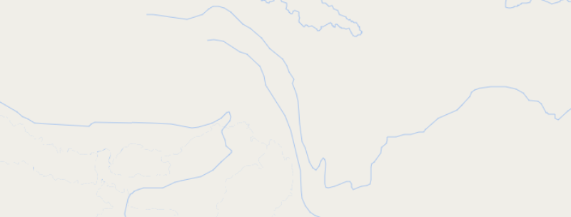
Waterway contains classes for rivers, stream, canal, drain and ditch as line type.From zoom level 2 to 10, the data of waterway is from Natural Earth, and the room level 11 to 19, it is OSM data. As for the NE data, the waterway layer are filtered by different types of data and the value of scalerank. Pay attention to the drain name and ditch name, because they are empty.
Columns
geometry field
geometry type : line
name field
| Field | Description |
|---|---|
name |
The name (or names) used locally for the place. |
name_en |
English (if available, otherwise same as name) |
name_zh |
Chinese (if available, otherwise same as name) |
name_ar |
Arabic (if available, otherwise same as name) |
name_de |
German name name_deif available, otherwise nameor name_en. |
class
The main field used for styling the waterway is class. The varying number represent different values.
| Value | Description |
|---|---|
0--'river' |
The linear flow of a river, in flow direction |
1--'stream' |
Very small waterway |
2--'canal' |
Artificial waterway |
3--'drain' |
Artificial channel for rainwater drainage, often concrete lined |
8--'ditch' |
Small artificial channel dug in the ground for rainwater drainage |
Data Download Source
| Zoom Level Applied | Possible Values | Data Download Source |
|---|---|---|
| 2 ~ 4 | class = 0 (for "drain,ditch", name is empty) | ne_110m_rivers_lake_centerlines |
| 5 ~ 7 | class = 0 (for "drain,ditch", name is empty) | ne_10m_rivers_lake_centerlines (scalerank<=6) |
| 8 ~ 10 | class = 0 (for "drain,ditch", name is empty) | ne_10m_rivers_lake_centerlines |
| 11 ~ 13 | class = 0, 1 (for "drain,ditch", name is empty) | waterway IN ('river', 'stream') |
| 14 ~ 19 | class = 0, 1, 2, 3, 8 (for "drain,ditch", name is empty) | waterway IN ('river', 'canal', 'stream', 'drain', 'ditch') |